- Log in to post comments
Mill creek provides some interesting topography in the Absarokas!
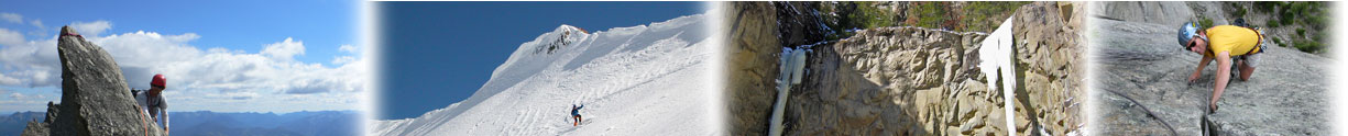
I took this run ,with Debbie and Devin driving shuttle. The route begins at East Dam creek trailhead along the main Mill Creek Road. The trail climbs the drainage for a while, then gets onto logging roads taking it to the east, upcanyon. Grind up logging roads, through some areas burned on 2007 (many of which are recovering beautifully, and some of which still have the scorched earth look).Eventually, gain trails on the ridgelines to 8500 feet, heading north now, where you get spectacular views of the surrounding Mill Creek peaks.
Further East, Pyramid Peak and the high broad ridge connecting to it dominate the view.Mt. Cowen and Wallace also stand out in the panorama.
Don't botch the descent into E. Mill Creek. I left the ridge to drop into E. Mill where the GPS map showed a trail, but there was none. better, I would recommend continuing to the south and west around the peak the peak that I dropped off to the east of/ Didn't work out so we,l Mixed areas of burned standing trees, blown-down burned trees, steep sidehilling, and thick brush (lower down, around 7000ft. , where it hadn't burned.). The GPS showed my painstakingly slow approach to the creek.
Finally reaching it, the creek was to full to ford to the other side, where the trail was. Instead, I was left doing further bushwhacking downstream along E. Mill Creek until intersecting the trail at a bridge across the creek in another mile.
A final mile of standard trail a little up and a little down, (with cramping legs, in my case) brings you on into the E. Mill trailhead.