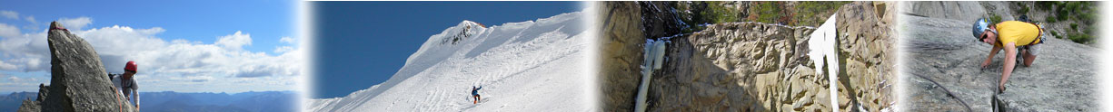
While working this summer for the FS, I spotted a nice cascade about 4 miles up the South Fork of pine creek. In hopes of finding some long lost gem I was able to convince Gregg Smith to go exploring on wednesday. Snowshoes were pretty much ineffective due to the faceted snow and it took 4.5 hours to get to the base of the climb, which turned out to be an OK 60 meter flow of WI3. There are two flows seperated by a snow shelf, the top 20 feet would be the crux, although many variations exist. We rappelled the route off of a tree with double ropes. I couldn't recommend the climb as the approach is just too long, but the views of Mount Black and off towards the divide are spectacular! There was also a parallel flow to the right, which we didn't climb, that appeared to be 50 meters of WI2. To approach the climb(s) head up the right (south) fork of the south fork of Pine creek to a large meadow, where the climbs are obvious up and to the right. This is the major fork in the drainage directly after Neptune and Pluto. Allow an additional 1.5 hours of slogging once you are even with these climbs.
FYI: Neptune and Pluto both appeared to be in great shape and our path gets fairly close which may save some time on the approach to these climbs.
I can't find any mention of these climbs in Winter Dance or Big Sky Ice does anyone know if this route has ever been climbed before?
[img]http://montanaice.com/forums/user_images/meadow_view.JPG[/img]
[img]http://montanaice.com/forums/user_images/S.Pine_Route.JPG[/img]
cheers,
seth
- Log in to post comments
New Route in the South Fork of Pine Creek?
New Route in the South Fork of Pine Creek?
New Route in the South Fork of Pine Creek?